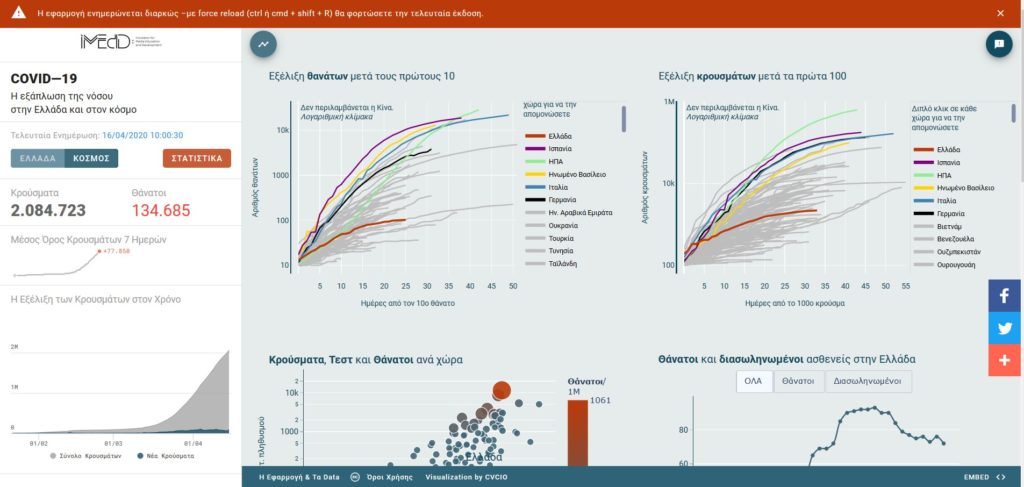
The application for the spread of the disease in Greece and around the world presents a new feature.

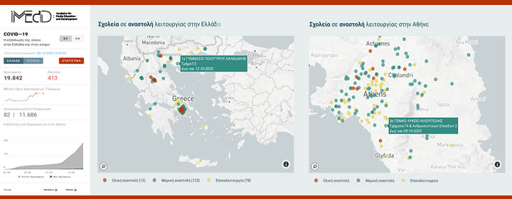
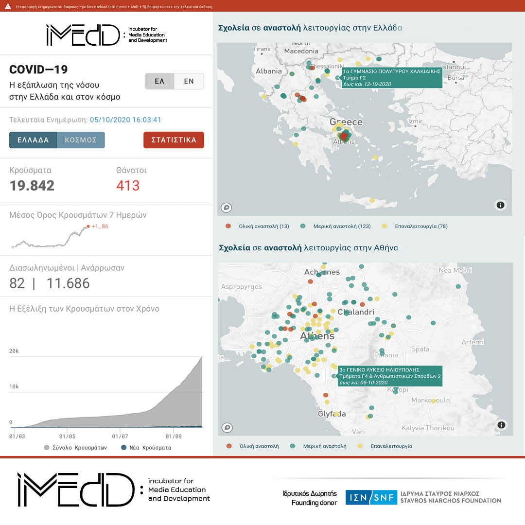
The iMEdD Lab which has created and maintains an interactive application for the spread of SARS-CoV-2 in Greece and around the world, presents one new graph that is updated twice daily and shows the schools with suspended operation in Greece, due to coronavirus cases.
Just like the entire application, you can share or/and embed the maps in your website.
The code for embedding the map with the schools on suspended operation across Greece is:
<iframe src=”https://lab.imedd.org/iframes/covid_graphics/schools_greece_gr/index.html” style=”border:0px #ffffff none;” name=”imedd-schools-greece-gr” frameborder=”1″ marginheight=”0px” marginwidth=”0px” height=”470px” width=”100%” allowfullscreen=””></iframe>
The code for embedding the map focused on the wider Athens area is:
<iframe src=”https://lab.imedd.org/iframes/covid_graphics/schools_athens_gr/index.html” style=”border:0px #ffffff none;” name=”imedd-schools-athens-gr” frameborder=”1″ marginheight=”0px” marginwidth=”0px” height=”470px” width=”100%” allowfullscreen=””></iframe>
In specific, the maps show the schools that are currently closed, those that are partially suspended (departments or classes) and those re-operating following a partial or complete suspended operation.
These maps are first published in the page of the relevant statistical analyses presented in the application.

Open and freely available data
Information of use
- By running the mouse over any dot on the map the end date of the scheduled suspended operation appears on the relevant school unit, as well as the departments or classes with suspended operation, for schools with partially suspended operation.
- Users can scroll to zoom in the area of interest on the map.
- Users can double click to select only one of the status categories of schools (partial suspension, full suspension, re-operation), to see only the respective school units appear on the map. Categories may also be selected/deselected.
If you wish to embed the maps in the English version of your website, the respective codes for embedding are:
Greece:
<iframe src=”https://lab.imedd.org/iframes/covid_graphics/schools_greece_en/index.html” style=”border:0px #ffffff none;” name=”imedd-schools-greece-en” frameborder=”1″ marginheight=”0px” marginwidth=”0px” height=”470px” width=”100%” allowfullscreen=””></iframe>
Athens:
<iframe src=”https://lab.imedd.org/iframes/covid_graphics/schools_athens_en/index.html” style=”border:0px #ffffff none;” name=”imedd-schools-athens-en” frameborder=”1″ marginheight=”0px” marginwidth=”0px” height=”470px” width=”100%” allowfullscreen=””></iframe>
Source, processing and update of data
The source of the data presented on the map is the relevant list of the education structures in suspended operation, as published by the Ministry of Education and Religious Affairs.
The iMEdD Lab collects said data (since the suspended operation started onwards), processes them and visualized them, so that the maps are updated with the most recent data each time. The maps are updated twice daily.
The relevant data set (dataset), on which the creation of the maps is based, is published (in .csv file) and freely available at the repository of iMEdD Lab at GitHub, where all data on COVID-19 are collected to be used and analyzed for the purposes of the application. i
